If you’ve ever wondered what it’s like to explore every drivable mile of Jennings State Forest, here’s your full ride-along. Over several outings, I set out to drive and map each road listed as open on the Florida Department of Agriculture and Consumer Services’ official Jennings State Forest map. What follows is a trail-by-trail recap, complete with video links so you can experience each one for yourself.
This wasn’t about speed or spectacle. It was about seeing what’s out there—every bend and patch of sand—and documenting it for anyone curious about the terrain, the conditions, or just the quiet beauty of these North Florida woods.
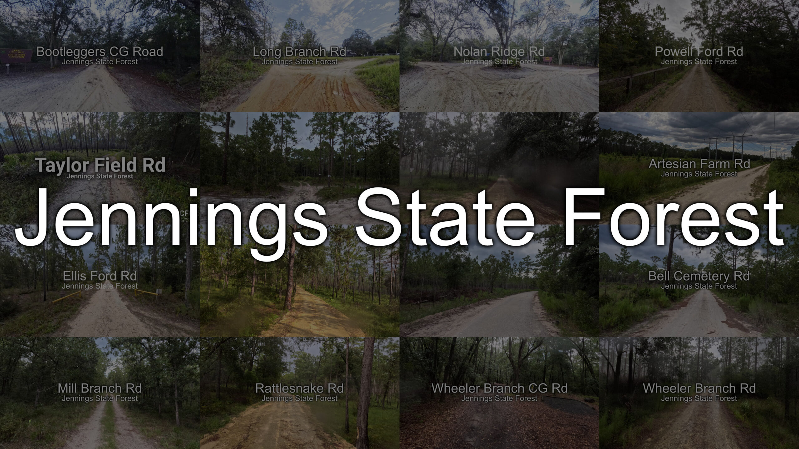
Taylor Field Rd
A winding route that opens up to stretches of tall pines and sandy straightaways. The ride is smooth for the most part, but you’ll feel the terrain shift under your tires in certain sections. It’s a good introduction to Jennings’ mix of easy cruising and light technical driving.
Bootleggers Campground Rd
A short but scenic road leading to one of the forest’s camping areas. Expect a mix of shaded sections and open sky, with enough width to make for a comfortable drive in most vehicles.
Long Branch Rd
Long Branch lives up to its name, offering an extended, leisurely drive with stretches where you can see deep into the forest on both sides. It’s a great place to slow down and enjoy the surroundings.
Nolan Ridge Rd
A slightly narrower route with more frequent elevation changes than most of Jennings. It’s a nice break from the flatter roads and offers some variety in scenery.
Ellis Ford Rd
Crosses near the Ellis Ford area, with portions where you can catch glimpses of the water. The road surface can vary, so be ready for a mix of packed dirt and loose sand.
Powell Ford Rd
A shorter road but worth the detour, especially if you enjoy routes that feel tucked away. The trees seem to close in on you here, creating a tunnel-like effect.
Bell Cemetery Rd
Leads to an old cemetery site and carries a bit more historical weight than most routes. The drive itself is calm, with just enough uneven spots to remind you you’re in a forest, not on a city street.
Artesian Farm Rd
A pleasant blend of open patches and shaded lanes. This road has a few longer straightaways that let you take in the forest’s quiet in full.
Rattlesnake Rd
Don’t let the name scare you off. This road is more about twists and turns than actual snakes. A fun route if you like a bit more steering input.
Wheeler Branch Campground Rd
Takes you right into a camping area, making it more of a destination road. The drive is easy-going and accessible for most vehicles.
Mill Branch Rd
A peaceful stretch with a mix of sun and shade. The kind of road where you find yourself slowing down just to make it last a little longer.
Wheeler Branch Rd
One of the more substantial drives in Jennings, with changing terrain and plenty of variety in views. Great for those who want a bit of everything in one road.
Why Document Every Road?
This project was about more than just checking boxes. Driving and mapping each open road helps future visitors know what to expect, whether they’re planning a family drive, an off-road training day, or just looking for a peaceful escape.
For me, it also ties into the core of what CFCX Life is about: low-effort, authentic storytelling. These aren’t staged adventures; they’re real drives, with all the small surprises that come with them.
By sharing each road individually, I’m hoping to make Jennings State Forest more approachable for everyone—from casual explorers to seasoned off-roaders, who just wants relatable, honest content about the outdoors.
Have you driven any of these roads? Drop your thoughts or questions in the comments—and if you’re planning your own trip, the linked videos are a good way to preview the terrain before you head out.